
Table of Contents
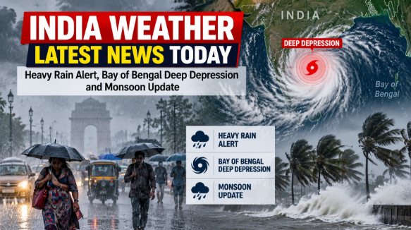
Updated September 23, 2026: The India weather situation remains active across several states as a deep depression over the Bay of Bengal moves toward the north Andhra Pradesh and south Odisha coasts. The India Meteorological Department (IMD) has warned of heavy to very heavy rainfall in several parts of eastern, central and southern India, while the southwest monsoon is gradually beginning to withdraw from parts of northwest India.
Top India Weather Headlines Today
- Deep depression over the Bay of Bengal is moving west-northwestwards.
- The system is expected to cross the north Andhra Pradesh–south Odisha coast around September 23-24.
- Red alerts have been issued for several districts of Odisha.
- Andhra Pradesh is also facing a period of heavy to extremely heavy rainfall.
- Karnataka is expected to receive further rain and thunderstorms.
- Telangana and parts of central India may see heavy showers and gusty winds.
- Assam and Meghalaya remain under a heavy-rain warning for September 23.
- Delhi-NCR has no significant IMD warning for September 23.
- Southwest monsoon withdrawal is progressing over northwest India.
Bay of Bengal Deep Depression Latest Update
The most significant development in today’s weather forecast is the deep depression over the west-central and adjoining northwest Bay of Bengal.
According to the IMD, the system was centred near latitude 18.0°N and longitude 85.4°E on the evening of September 22. It was located approximately 140 km east-southeast of Kalingapatnam in Andhra Pradesh and around 150 km south-southeast of Gopalpur in Odisha.
The weather system is expected to continue moving west-northwestwards and cross the north Andhra Pradesh-south Odisha coast between Visakhapatnam and Gopalpur by the night of September 23 or early September 24.

Despite speculation on social media about the possibility of a cyclone, the current IMD forecast indicates that the system is expected to remain a deep depression rather than intensifying into a cyclonic storm.
Odisha Weather Today
Odisha is among the areas facing the strongest weather warnings.
The IMD has warned of heavy to very heavy rainfall in southern and coastal parts of the state, with isolated extremely heavy rainfall possible in some locations. Red alerts cover districts including Koraput, Gajapati and Ganjam during September 23 and 24, with additional districts coming under red alert on September 24 and 25.
Authorities have also taken precautionary measures because of the possibility of waterlogging, flooding and landslides. Some road and ferry services have been restricted in vulnerable areas.
Along the south Odisha and north Andhra coast, squally winds could reach around 75 kmph during the period of the system’s passage.
Andhra Pradesh Weather Update
Coastal Andhra Pradesh is also expected to experience intense rainfall as the deep depression approaches the coastline.
The IMD has issued warnings for heavy to very heavy rainfall, with isolated extremely heavy rainfall possible in some districts. Kakinada, Konaseema, East Godavari, West Godavari, Eluru and Krishna are among the districts highlighted in recent weather warnings.
Residents in coastal areas are being advised to follow local administration and IMD updates, particularly where flooding or strong winds are possible.
Karnataka and Telangana Weather
Rainfall activity is also expected to continue across Karnataka. The state has been experiencing uneven rainfall conditions, with some areas receiving intense showers despite a significant September rainfall deficit.
The IMD has forecast additional rain through the week, including thunderstorms in several locations.
Telangana is another region where heavy rainfall and thunderstorms remain possible. Recent reports indicate that rainfall could continue through September 25, with yellow warnings issued in several districts.
Delhi Weather Today
Delhi-NCR is expected to remain comparatively dry on September 23. The IMD’s current warning information shows no significant weather warning for Delhi, Haryana and Chandigarh through September 28.
However, weather conditions can change, and residents should continue checking the latest local forecast, particularly later in the week when rainfall activity may increase in parts of north India.
Monsoon Withdrawal Update
While heavy rain is affecting parts of eastern and southern India, the southwest monsoon is beginning its gradual withdrawal from northwest India.
The normal withdrawal date from northwest India is around September 17, although the exact timing varies from year to year. The IMD had earlier said conditions were becoming favourable for withdrawal from parts of west Rajasthan.
This means India is currently seeing two different weather patterns: monsoon withdrawal in parts of the northwest and active rainfall associated with a Bay of Bengal system in the east and south.
